Training workshop on Remote Sensing and GIS concluded
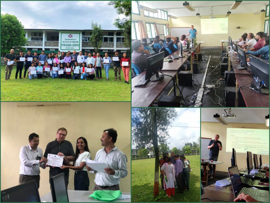
Remote Sensing and Geographic Information System (RS & GIS) is evolving as an essential technology to better understand the phenomenal processes on the Earth surface. Recent technology in the field is moving towards web-based services for everyday business of everyone. In order to enhance conceptual understanding of geospatial science and acquaint with the application of these technologies to the students, the Department of Watershed Management and Environmental Sciences (WME) at the Institute of forestry, Pokhara Campus, Nepal and the Department of Geoinformatics-Z_GIS of Salzburg University, Austria jointly organized a 4-day intensive training workshop on RS and GIS from 19 to 22 July, 2022.

The training workshop was participated by 28 participants which included 26 post graduate students and two faculty members. Workshop covered core theory of RS&GIS, quality issues of open-source geodata and then emphasized on the key concepts and hands-on practice of distributed GIS to help organize geodatabase for instantaneous visualization of field data collection and analysis.
The training helped in strengthening academic cooperation between the institute and the university for sharing technological know-how in the field of RS and GIS and its application in various field. The training was delivered by Dr. Manfred Mittlbock from the Salzburg University. The workshop was coordinated and facilitated by our three faculty members, namely Dr. Lila Puri, Mr. Mahendra Singh Thapa and Rabindra Adhikari. The institute immensely appreciate Dr. Manfred and faculty members for their invaluable contribution to make the training successful and impactful.
